By: Fiona Ngarachu, Moses Muriuki[1], Claire Bedelian
The BRACEDx (Building Resilience and Adaptation to Climate Extremes and Disasters) project, held a multi-stakeholder workshop on the 21stof May 2019 at the ICT hall in Wajir County, Kenya. This workshop served as an end of project meeting to present the work that had been done under the project to various stakeholders who were assembled. These presentations focused on a resource mapping exercise and a county water governance study, both led by the Wajir County Government; a pastoralism and policy training workshop for Wajir’s county government actors carried out with the support of Mercy Corps and IIED; as well the roles of the Wajir Community Radio, the Wajir County Water and Sewerage Company (WAJWASCO), and the Regional Centre for Mapping of Resources for Development (RCMD), who have been valuable partners in the project.
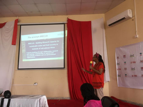
There was also the opportunity for a presentation on the BRECcIA project, which is spearheading two research projects in Wajir through the small research projects; 1) Effects of land use change on water security and pasture resources in Lagha Bor Catchment in Wajir County, led by Joy Obando and Moses Muriuki and 2) Building capacity for food and water security policy uptake in Kitui and Wajir counties of Kenya led by Fiona Ngarachu.
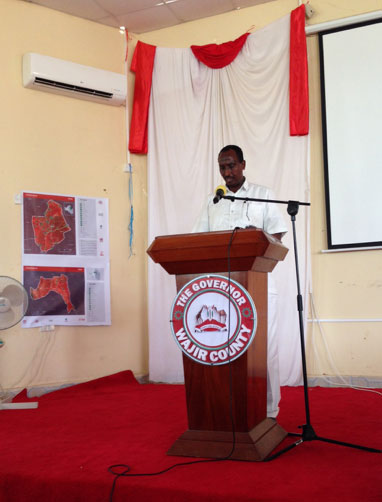
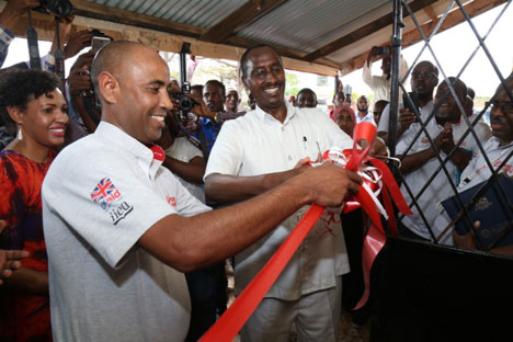
The culmination of the workshop was the official launch of the county’s GIS lab by the county governor, His Excellency Ambassador Mohamed A. Mohamud and Yohannes Wolday, the Country Director of Mercy Corps Kenya. Wajir County is only the second county in the country, after Vihiga County, to launch its own GIS lab. In his speech at the workshop, His Excellency the governor noted that projects like BRACEDx were essential where the focus was on assistance with “[…] developing a policy and legislative framework to support pastoralists livelihoods is an important focus in counties like Wajir, where pastoralism is the dominant livelihood with 80% of the population dependent on livestock keeping.”

The BRECcIA presentation introduced the project to the stakeholders in terms of its objectives, vision and mission as well as indicating that the two SRP projects are keen to work with the stakeholders to identify areas where they could best come in. Indeed, it was clear from the presentation of the water governance study that the second project on capacity building for food and water policy uptake could take what was an initial pilot study further, by addressing some of the gaps that the study raised, such as the challenges of policy implementation.

During the presentations by Wajir County government, it was clear that much has been achieved in terms of mapping of resources including water points, grazing areas and settlements as well as investigating the potential of both local and international marketing of locally produced products such as camel milk and camel meat. While it was clear from presenters that both development of settlements and water points have effects on pasture resources thereby affecting livestock-based livelihoods, one of the gaps that was raised was that it was not clear to what extent the pasture resources have been affected. In addition, one other point that could be investigated is the effects of the increasing number of drilled boreholes on groundwater in the county.
Moses in particular was interested in how his PhD study, which is under the project led by Joy Obando, could connect to the work that the county government were doing. He noted that this would be done by providing the answers to the questions “by how much?” and “how to?” improve water and pasture resources for sustainable food security in a livestock dependent livelihood system. His PhD study, on the “Effects of land use change on water security and pasture resources in Lagha Bor Catchment in Wajir County” is set to add value by undertaking a land use land cover change to understand and quantify the effects of the development of artificial water points and increasing settlements on groundwater and pasture resources. The study will help in identifying the location and type of action that needs to be taken in order to realize improved outcomes. While investigating the action of land use change on groundwater resources, the study will evaluate the trends in recharge and abstraction. At the end, the study will as well help to establish innovative measures for improved water and pasture resources in the study area and County at large, and therefore directly contribute to the resource mapping that the County has undertaken. The PhD project will have the opportunity to work directly in partnership with the County through the GIS lab, which will provide spatial information relating to water and settlement developments in the County. The County will benefit from the BRECcIA small research projects through data sharing, workshop information disseminations and hand on trainings. It is also expected that the outputs from the research studies will contribute to the community land act and rangeland bills as well as water bills that are currently under formulation in the County.

[1]Moses is a PhD student at Kenyatta University whose fieldwork is funded through the BRECcIA project.

